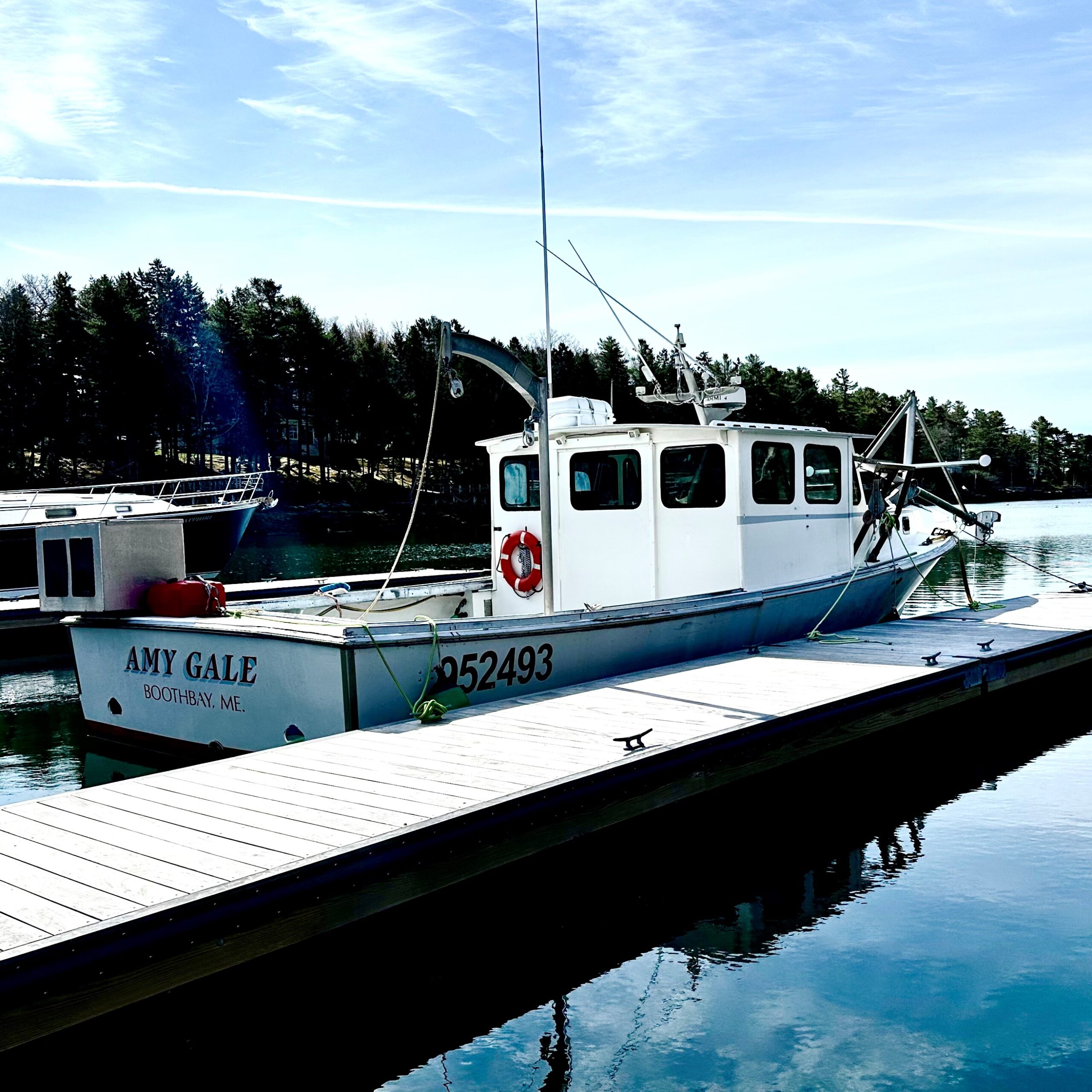
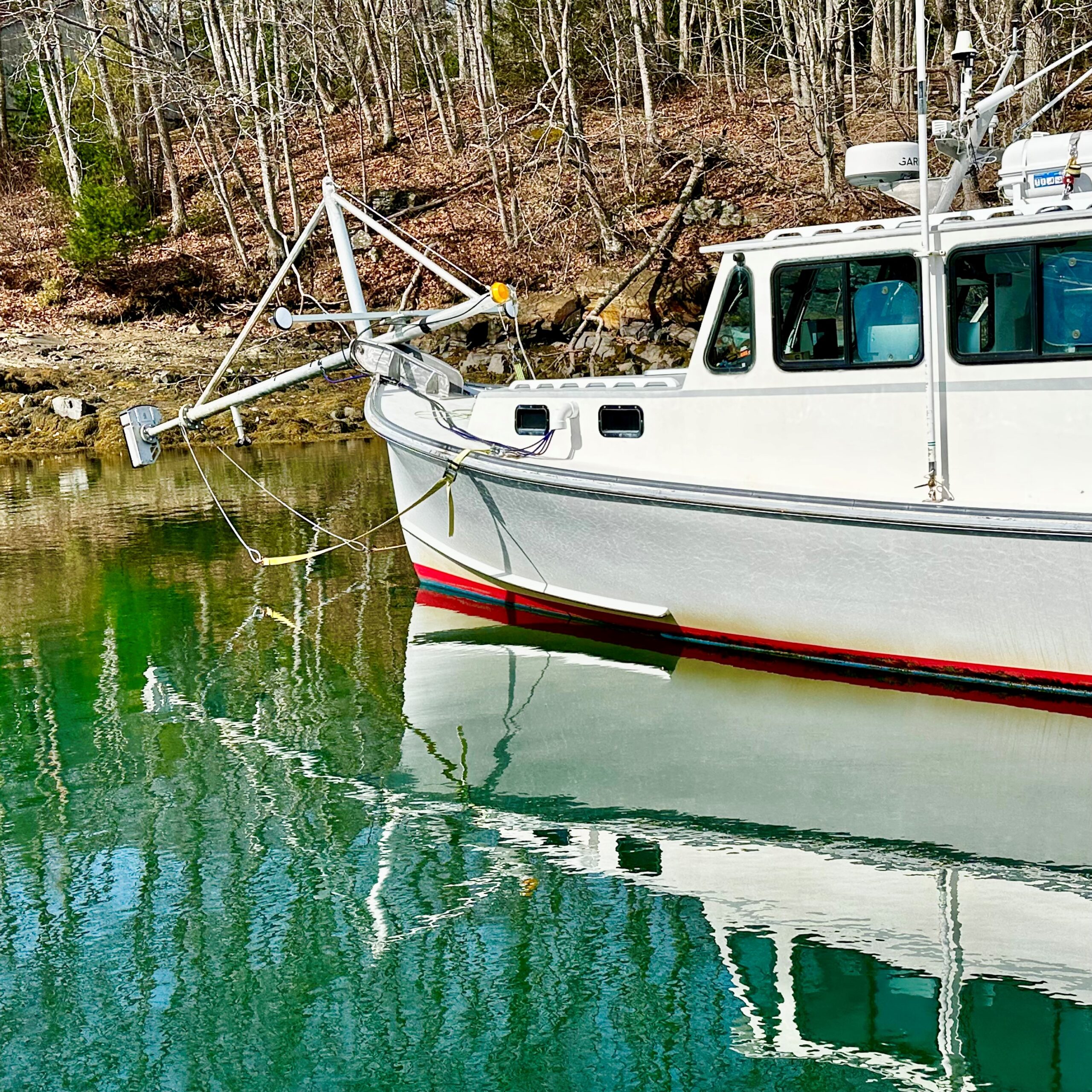
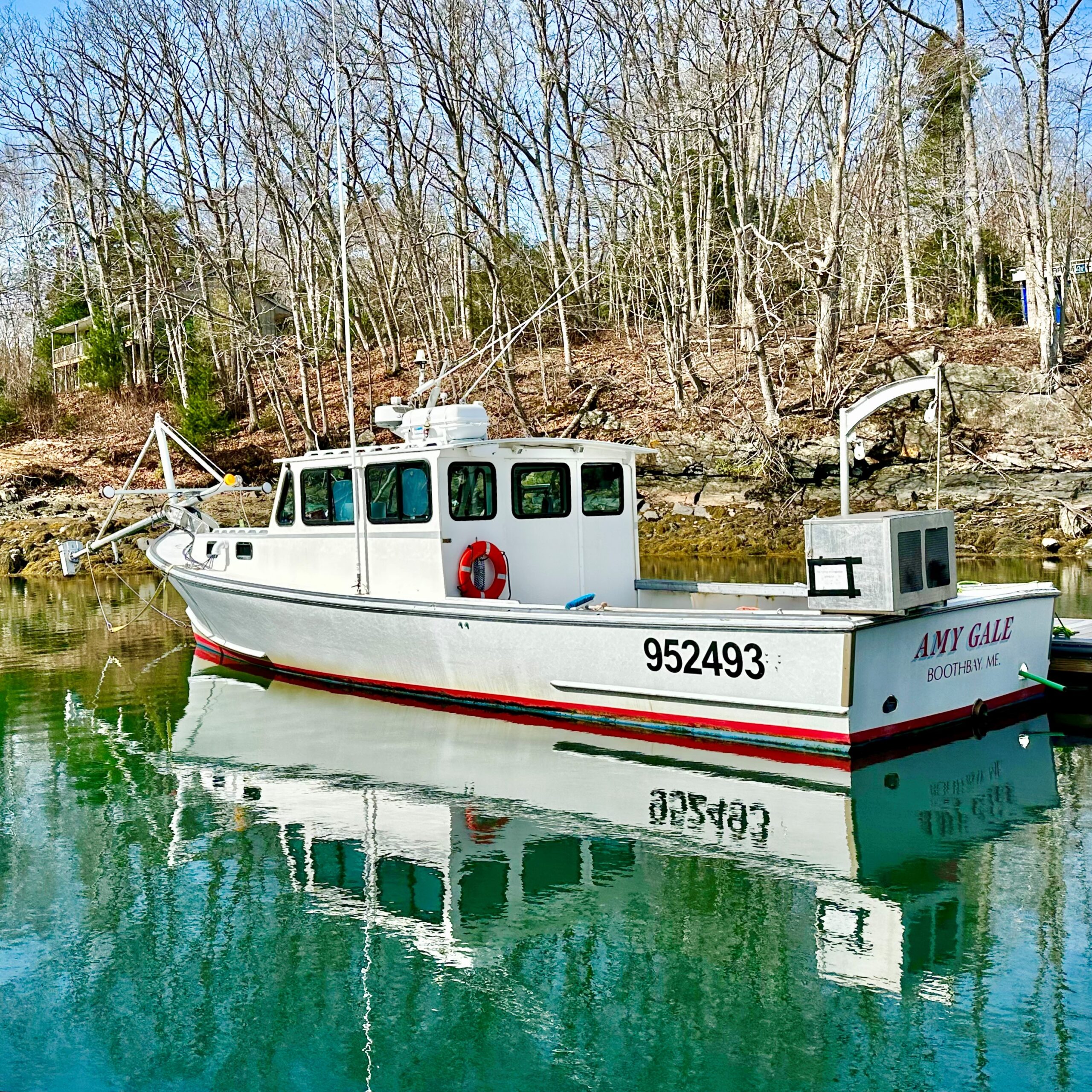
Another unique vessel is visiting Safe Harbor Great Island. For the first time, the 36-foot survey vessel AMY GALE is here, while her crew engages in data collection, mapping the seafloor.
How it works:
Using the main cabin as a data collection center, the crew acquires real time visualization on four monitors. This information is relayed from a bow-mounted multi-beam echo sounder, which pivots into position via electric winch. As sound waves bounce off the seafloor, accurate depth mapping is achieved. The data collection is then supported by “ground truthing” or sediment collection and analysis, which verifies the makeup of the submerged land (i.e. sand, gravel, mud.) All together, this information informs coastal resource management, maritime navigation, and offshore economic development.
Using the data, scientists evaluate things like beach nourishment and coastal resiliency, and advise on how to prepare for erosional events, storm surge, and sea-level rise. The data is also used for permitting and selecting sites for offshore development, by protecting and avoiding certain marine environments and inhabitants, and, of course, for updating NOAA nautical charts.
And where would we be without our nautical charts?!?
Leave a Reply